Charts Pt.2
Study these flashcardsFree · spaced repetition · iPhone, Android, Mac & web
All cards
1
Which way does Latitude lines run?
Parallel with the equator
2
Which way does Longitude lines run?
Pole to pole
3
Each lat/long is defined by what?
degrees (°), minutes ('), and seconds (")
4
How many minutes are in 1°?
60 minutes
5
What degree (°) is the equator?
0°
6
What is the height of the lighted obstacle approximately 6 nautical miles southwest of Savannah International?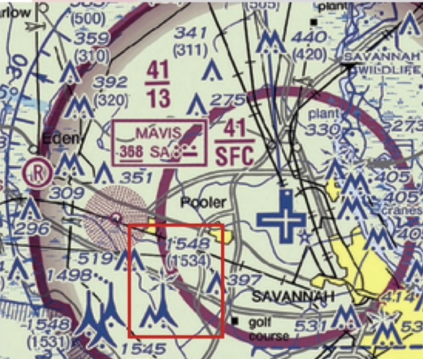
1,548 MSL
7
Sky Way Airport is....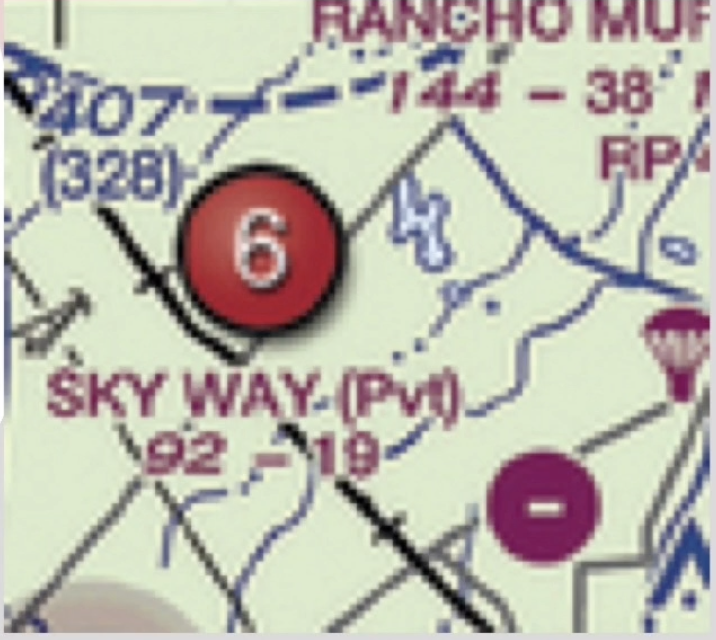
Non public use airport
8
What is the GPS coordinate location of Cooperstown airport (top right)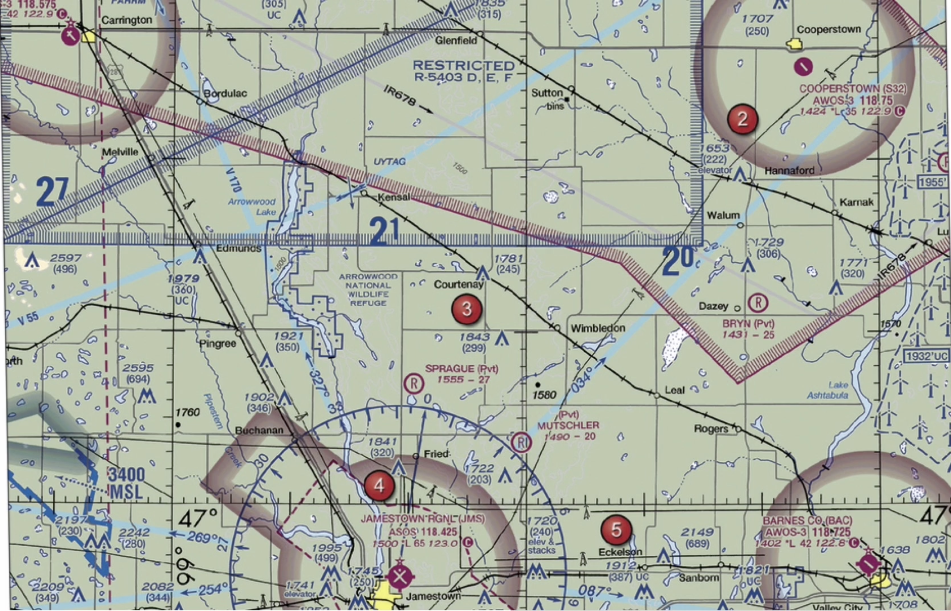
47°25'N - 98°06'W
9
You have been hired to inspect the tower under construction at 46.9N and 98.6W, near Jamestown Regional (JMS). What must you receive prior to flying your unmanned aircraft in this area?
Authorization from ATC